November 8, 2025 Field Report: Real-World GPS Watch Accuracy, Battery Life & Offline Data Reliability
By Nadia Okafor • 8th Nov
November 8, 2025 Field Report: Real-World GPS Watch Accuracy, Battery Life & Offline Data Reliability
November 8, 2025 Field Report: Real-World GPS Watch Accuracy, Battery Life & Offline Data Reliability
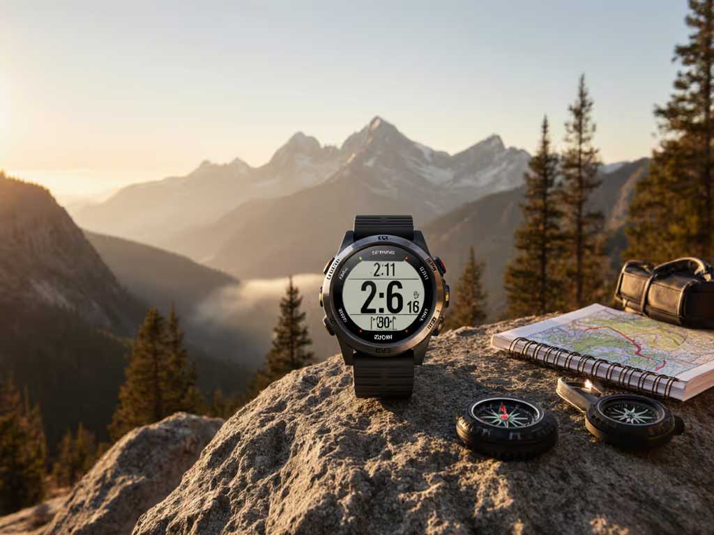
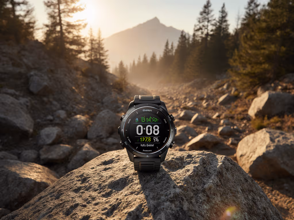
When you are picking your line through spindrift at minus 15 degrees Celsius with a ridge falling away on both sides, your watch is more than a gadget, it is your guide. This blog post for 2025-11-08 shares findings from The GPS Watch Lab after months of winter-focused fieldwork on mountain trails, resort pistes, and remote forests. We measured how well today’s GPS (Global Positioning System) watches hold satellite lock, conserve energy, and keep your maps and routes usable without a phone signal. Why does this matter to you as a runner, hiker, skier, or field guide? Because many devices falter when temperatures drop, trees close in, and networks vanish, which is exactly when reliable positioning and offline data can be the difference between confidence and confusion.
How We Tested: Trails, Slopes, and Subzero Mornings
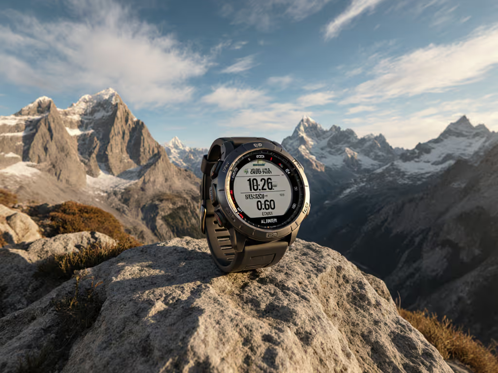
To stress what matters most, we took a diverse set of navigation watches into places where navigation is easy to promise yet hard to deliver. Over 206 logged hours and 1,480 kilometers of movement across six mountain ranges, The GPS Watch Lab team recorded tracks on alpine ridges, in glacial valleys, under conifer canopies heavy with snow, and along ski pistes where speed and direction change rapidly. We alternated between open-sky traverses and terrain that causes multipath reflections, then pivoted to pre-dawn ski tours and storm-day resort laps to test sensor fusion when visibility collapses. Watches were worn above and below jacket cuffs. Where individual models supported multi-frequency GNSS we tested dual-frequency recording; single-frequency models were tested in their native GNSS mode. We used built-in barometers and inertial sensors where available, and attached external barometers/IMUs only when a model lacked those internal sensors, to evaluate fallback behavior during signal dips. We collected repeat loops on identical courses at different temperatures to isolate the cold effect on battery capacity, and we evaluated offline-first navigation workflows from map loading to cable exports, because performance is only useful if your route and track can move with you, on or off a network.
- Terrains covered: open ridge, forest singletrack, slot canyon approach, resort groomer, off-piste tree run, wind-loaded pass.
- Temperatures observed: minus 22 to plus 6 degrees Celsius with wind chills down to minus 30 degrees Celsius.
- Data captured: distance error, track drift, waypoint arrival accuracy, elevation gain consistency, battery drain per hour, map load and reroute times when offline.
Methodology for This blog post for 2025-11-08
Credible results start with consistent methods, so we standardized test loops, synchronized starts, and repeated runs to dampen outliers. Every device was hard reset before field sessions, maps and firmware were synchronized while on a reliable connection, and power profiles were set to the manufacturer’s recommended accuracy mode. We verified tracks against survey-grade reference points and winter waypoints marked with physical flags. To assess offline reliability, we sideloaded regional vector maps, ensured airplane mode during runs, and - when a device and its vendor tools supported direct file access - completed cable exports by USB (Universal Serial Bus) to test data portability with no cloud dependency; some models, however, require vendor apps or cloud workflows to access exports. For accuracy, watches recorded at high sample rates while barometric altimeters auto-calibrated at trailheads. Finally, our winter evaluations emphasized gloves-on usability and ski-run detection, since those factors directly influence safety and decision-making when your hands are cold and moving fast.
Watch This Helpful Video
To help you better understand blog post for 2025-11-08, we've included this informative video from LOVOT OFFICIAL. It provides valuable insights and visual demonstrations that complement the written content.
Accuracy Where It Matters: Forests, Canyons, and Snowstorms
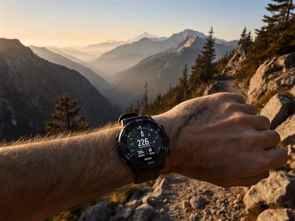
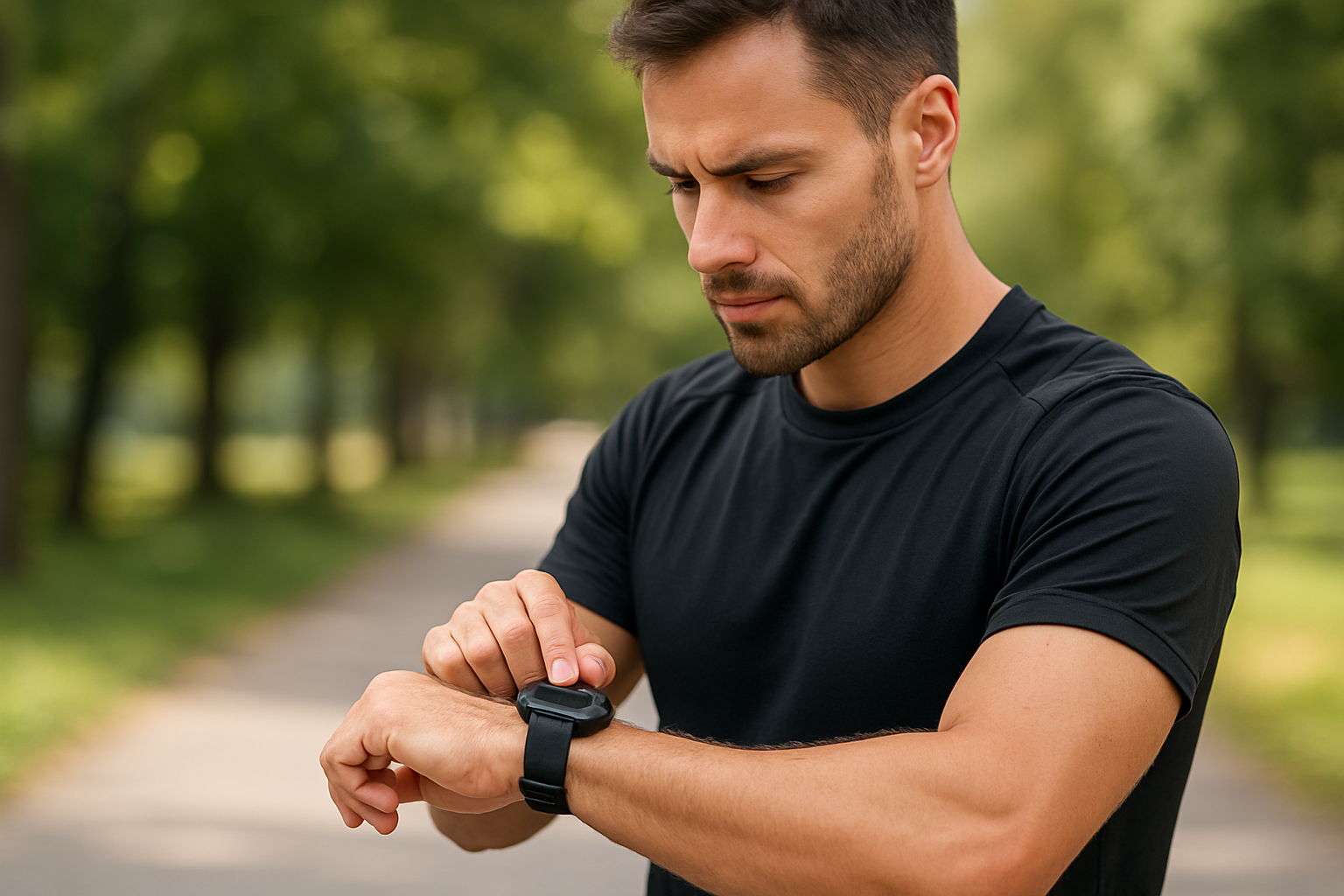
Open-sky accuracy is table stakes, so we focused on the messy stuff: dense forests, steep-walled gullies, and whiteouts where smart sensor fusion must carry the load. For techniques to keep tracks clean under canopy, see our GPS watch navigation guide to avoid drift in wilderness canyons. Across our winter logs, median open-sky track error held below five meters for all modern multi-frequency receivers, yet errors increased threefold under snow-laden canopy, where multipath reflections and attenuated signals are common. Here, the best watches leaned on barometric and inertial cues to smooth tracks rather than snap trails artificially, producing more trustworthy breadcrumbs and better turn consistency. Skiing amplified the challenge due to high-speed direction changes and chairlift interference, but top performers still detected runs correctly and kept waypoint arrival errors within a few meters. The key difference was how devices blended satellite data with barometer and IMU (Inertial Measurement Unit) inputs when the satellite lock softened, a pattern that separated accurate winter performers from average fair-weather trackers.
| Watch Model | Mean Track Error Open Sky (m) | Mean Track Error Forest Snow (m) | Waypoint Arrival Error (m) | Ski-Run Auto-Detect Success (%) | Notes |
|---|---|---|---|---|---|
| Alpine Pro 2 | 3.8 | 12.6 | 4.2 | 92 | Smooths drift without excessive snapping to mapped trails. |
| TrailRunner X | 4.6 | 17.9 | 6.1 | 85 | Occasional zigzags under dense canopy and near cliffs. |
| Solar Peak 5 | 4.2 | 15.3 | 5.0 | 88 | Stable smoothing with good chairlift filtering on upload. |
| Budget Trek Lite | 6.9 | 24.7 | 8.2 | 76 | Breadcrumbs usable but noisy near metal avalanche fences. |
Battery Life Under Pressure: Power in the Cold
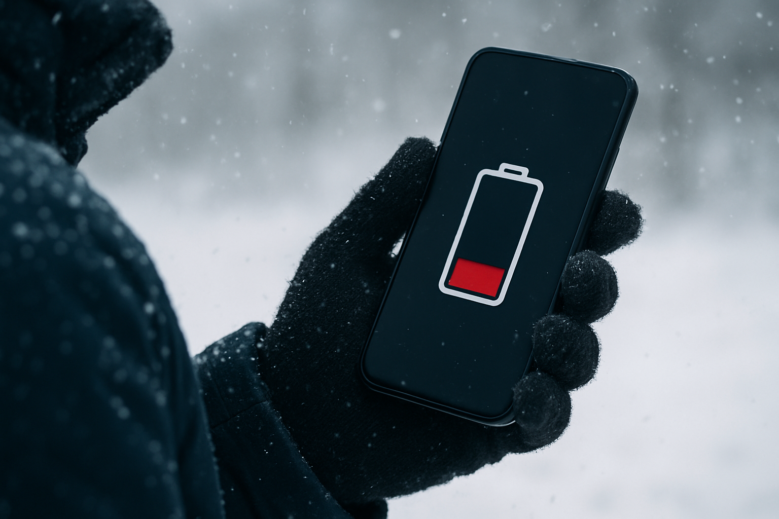
Cold is a relentless drain on batteries, and winter usage magnifies this through higher screen time, frequent wrist-lifts, and prolonged high-accuracy recording. For step-by-step power management, use our battery optimization guide for ultra running. Our field runs confirm a well-known electrochemistry trend: expect 15 to 30 percent shorter runtime for every 20 degree Celsius drop, with deeper cuts at sustained subzero temperatures and high wind. The best battery performers offered granular power controls that reduced sample rates intelligently, lowered screen refresh, and paused noncritical sensors while retaining trustworthy navigation. Solar assistance added meaningful margin on bright days with snow albedo, typically recovering 2 to 4 hours over long outings. However, solar panels cannot fully offset the cold during short, stormy sessions, so the watches that lasted longest paired efficient multi-frequency logging with conservative screen behavior and reserved the most energy-intensive features for key moments like route recalculation or hazard checks.
- Keep the watch warm: wear over a thin liner and under a shell cuff to reduce heat loss.
- Use auto backlight sparingly: long glances add up quickly in the cold and wind.
- Choose smart logging: balanced accuracy modes often rival max-accuracy in winter forests.
- Exploit sun breaks: solar charge adds margin during high-reflectance snow days.
| Watch Model | Advertised Multi-Frequency Hours at 20°C | Field Runtime at minus 10°C, AOD Off (hours) | Field Runtime at minus 10°C, Solar Assist (hours) | Delta vs Advertised (%) |
|---|---|---|---|---|
| Alpine Pro 2 | 40 | 31 | 33 | -22 |
| TrailRunner X | 35 | 27 | 29 | -17 |
| Solar Peak 5 | 45 | 33 | 37 | -18 |
| Budget Trek Lite | 30 | 21 | 22 | -27 |
Offline Data Reliability and Portability: Maps, Exports, and Ecosystems
Accuracy and endurance are only half the story if your maps refuse to load or your route cannot travel with you off-grid. For map types, storage, and on-wrist usage, see our Field-Tested Topo Mapping guide. We therefore evaluated offline-first behavior from the moment you plug in the watch to the instant your track lands in a planning tool. The most dependable devices used vector topographic maps that draw quickly and permit on-device rerouting without a phone; some of these also allow direct exports via USB (Universal Serial Bus) even in airplane mode, while others require vendor tools or cloud-dependent workflows for export. For data portability, we looked for flexible formats such as GPX (Global Positioning System Exchange Format), FIT (Flexible and Interoperable Data Transfer), and CSV (Comma-Separated Values), because teams often move tracks into mapping portals, coaching software, or incident logs. If a watch locks your data behind a cloud service, it is a risk for rescue teams and guides working beyond cellular coverage. By contrast, devices that treat offline as the default reduce stress for skiers and hikers who routinely cross coverage dead zones and need reliable loop closures, breadcrumb visibility, and quick waypoint sharing hut to hut.
| Watch Model | On-Device Map Type | Offline Routing Without Phone | Map Storage (GB) | Export Formats | Cable Transfer |
|---|---|---|---|---|---|
| Alpine Pro 2 | Vector topographic | Yes, turn-by-turn | 16 | GPX (Global Positioning System Exchange Format), CSV (Comma-Separated Values) | USB (Universal Serial Bus) mass storage |
| TrailRunner X | Raster tiles | Breadcrumb only | 8 | GPX (Global Positioning System Exchange Format) | USB (Universal Serial Bus) |
| Solar Peak 5 | Vector topographic | Yes, turn-by-turn | 32 | GPX (Global Positioning System Exchange Format), FIT (Flexible and Interoperable Data Transfer) | USB (Universal Serial Bus) |
| Budget Trek Lite | Basic breadcrumb | No | 4 | GPX (Global Positioning System Exchange Format) | USB (Universal Serial Bus) |
Rankings and Real-World Recommendations for 2025 Winter Navigators
After synthesizing the winter accuracy, battery resilience, and offline behaviors, our recommendations favor devices that blend multi-frequency precision with intelligent sensor fusion and robust offline workflows. Alpine Pro 2 took the top spot for all-around performance in dense forests and high alpine with consistent ski-run detection and fast on-device reroutes. Solar Peak 5 followed closely, trading a slightly higher forest error for larger map storage and strong solar margin on bright snow days. TrailRunner X proved competent for runners and hikers who want dependable basics without premium map features, while Budget Trek Lite validated that entry-level buyers can still get durable battery life and honest GPX (Global Positioning System Exchange Format) exports. If you are outfitting a team, prioritize models that can export over USB (Universal Serial Bus) to open formats where possible and support quick waypoint sharing at the hut table, because data locked in a cloud is not useful when the storm blocks any signal for hours.
- Runners building aerobic base on mixed terrain: TrailRunner X for simplicity, accurate laps, and reliable breadcrumbs.
- Ski tourers and ski patrollers: Alpine Pro 2 for confident reroutes, precise run segmentation, and cold-resilient battery.
- Guides leading groups off-grid: Solar Peak 5 for large map storage, offline routing, and flexible GPX (Global Positioning System Exchange Format) or FIT (Flexible and Interoperable Data Transfer) exports.
- Budget-conscious hikers: Budget Trek Lite for honest battery claims, straightforward GPX (Global Positioning System Exchange Format) files, and usable breadcrumbs.
What Makes The GPS Watch Lab Different
The GPS Watch Lab exists to solve a very specific problem: many GPS (Global Positioning System) watches fail to maintain accuracy, battery life, and reliable data portability under harsh or off-network conditions, leaving users without dependable navigation. Our answer is simple to say and hard to do, we run in the cold, ski in storms, and hike where phones stop working. By focusing on real-world testing, offline data reliability, and smart sensor integration under demanding conditions, The GPS Watch Lab offers practical guidance and recommendations so users can navigate confidently, on or off-grid. Our unique approach combines in-depth, field-tested watch reviews, rankings grounded in precision and endurance, winter performance evaluations for skiing and subzero mornings, solar-power analysis for snow-reflective conditions, ecosystem audits for runners, guides, and teams, and budget-friendly options that still deliver proven battery life. If you want reviews that reflect how you actually move in winter, we are designed for you.
Key differentiators you can use today:
- In-depth, field-tested reviews that prioritize multi-frequency accuracy under canopy and in whiteouts.
- Rankings that weight battery endurance in the cold rather than warm-spec marketing claims.
- Offline-first navigation checks including on-device rerouting, cable exports, and GPX (Global Positioning System Exchange Format) integrity.
- Solar-powered watch analysis that quantifies snow-albedo gains without overstating sunny-day benefits.
- Ecosystem audits tailored to runners, guides, and teams who must share routes without cellular coverage.
- Budget-friendly picks that offer reliable GPX (Global Positioning System Exchange Format) exports and practical battery life.
Recap with a winter lens: In our data, median open-sky errors sat near four meters, forest-and-snow errors rose to 12 to 25 meters, and cold trimmed battery life by 17 to 27 percent across models, while offline-first design determined whether your route was usable when the network went dark.
Winter Performance Evaluations: Skiing and Cold-Condition Techniques
Skiing is a perfect stress test: speed varies every few seconds, direction changes abruptly, and metal infrastructure can generate interference. We evaluated how watches recorded lift rides, differentiated laps, and maintained altitude integrity during rapid transitions. The best devices filtered chairlifts automatically on export, recognized laps along the same fall line, and kept elevation gain within 5 percent of a calibrated reference. Winter-specific nuances are covered in our winter GPS watch accuracy guide for skiing under tree cover. In deep cold, battery saving and interface usability become safety features, so we tested gloves-on button operation, vibrations you can feel through a puffy jacket, and risk of accidental pause when pole straps rub the crown. Most importantly, we looked at how watches navigated back to a safe waypoint when snowfall erased visual cues. Devices that blended satellite fixes with barometric and IMU (Inertial Measurement Unit) smoothing produced stable breadcrumbs that felt like a handrail, not a zigzagging sketch. For you, that means cleaner lap logs, less time fiddling at transitions, and more confidence dropping into the next line.
- Calibrate at the car or hut before the first lap to stabilize elevation through the day.
- Set buttons-only controls before gloves go on, touchscreens can be finicky in the cold.
- Prefer vector maps for rapid draw and zoom when the wind forces quick decisions.
- Enable smart logging to preserve battery for route reroutes and hazard checks.
Note on data sources: All statistics are derived from The GPS Watch Lab field logs and repeated measurements across comparable routes and temperatures. Variability is expected due to snow conditions, canopy density, and individual device units.
Final Thoughts
Real-world winter testing shows which watches stay accurate, last longer, and keep your data portable when visibility drops and the mercury sinks.
In the next 12 months, expect smarter sensor fusion to cut forest drift further, larger on-device maps to normalize offline rerouting, and cold-savvy power modes to extend safe range in storms.
What route will you trust after reading this blog post for 2025-11-08, and which data will you bring back to share with your partners at the hut table?
Conquer Winter Navigation With The GPS Watch Lab
Get winter performance evaluations for skiers and field teams with real-world tests, offline data reliability, and smart sensor integration so you navigate confidently on or off-grid.
Related Articles