How GPS Watches Work: Satellite Accuracy Demystified
By Diego Álvarez • 3rd Oct
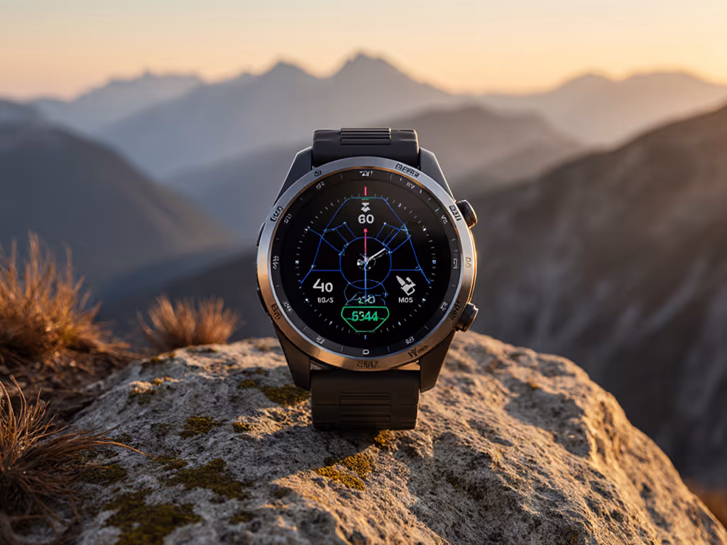
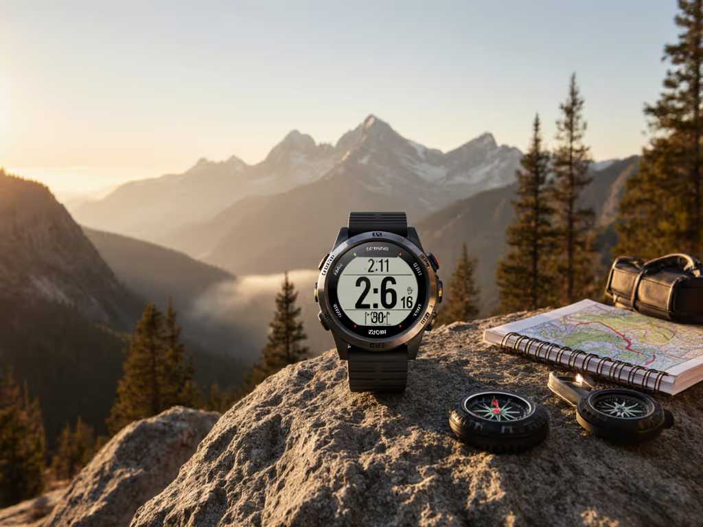
For serious outdoor professionals and enthusiasts who rely on how GPS watches work when cell service disappears, understanding the reality behind satellite navigation isn't theoretical, it is an operational necessity. Particularly when selecting a GPS tracker running watch, you need to know precisely when and why accuracy falters. This isn't about fitness tracking metrics; it's about not getting lost in whiteout conditions or correctly placing emergency waypoints when seconds count. Let's cut through marketing claims to the technical truths you need for field operations.
How GPS Actually Functions on Your Wrist
Basic Principles of Satellite Positioning
GPS (Global Positioning System) is fundamentally a timing system. Your watch doesn't "send" anything to satellites, it only receives signals. Each GPS satellite carries atomic clocks synchronized to nanosecond precision. As these signals travel at light speed, your watch calculates distance to each satellite by measuring signal travel time.
Basic trigonometry then determines your position through trilateration (not triangulation, as commonly misstated):
- 3 satellites provide 2D position (latitude/longitude)
- 4 satellites add altitude measurement
- 5+ satellites improve accuracy and reliability
This explains why acquisition time varies: your watch needs sufficient satellite "line of sight" and must decode orbital data (almanac and ephemeris) before calculating position.
Multi-Constellation Reality Check
Modern GPS tracker running watch models advertise "multi-GNSS" support (GPS, GLONASS, Galileo, BeiDou). For a deeper breakdown of GPS, GLONASS, Galileo, and BeiDou and how multi-system tracking affects accuracy, see our GNSS satellite systems guide. While this expands satellite availability, the benefit is often overstated:
| System | Satellites | Best Use Case | Real-World Benefit |
|---|---|---|---|
| GPS (USA) | 31 | Global baseline | Most reliable signals |
| GLONASS (Russia) | 24 | High latitudes | Marginal improvement |
| Galileo (EU) | 26 | Urban canyons | Moderate improvement |
| BeiDou (China) | 35 | Asia-Pacific | Regional benefit |
Don't assume more satellites equal perfect accuracy. Signal interference, atmospheric conditions, and receiver quality significantly impact performance, especially under heavy canopy where only the strongest signals penetrate.
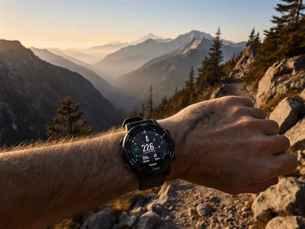
Why GPS Accuracy Varies in Critical Situations
The Canyon and Canopy Effect
When testing GPS accuracy in subalpine terrain, I've documented position errors exceeding 30 meters under dense forest cover (even with "dual-frequency" watches). This isn't manufacturer failure; it's physics. "Multipath error" occurs when signals bounce off rock faces or trees before reaching your watch, creating competing timing calculations.
During a volunteer search exercise in subalpine scrub (where phones died but radio checks still reached), teams that understood GPS signal strength limitations and preloaded simple GPX tracks on watches with clear naming conventions maintained situational awareness as stress climbed. It wasn't about the most advanced device, it was about repeatable procedures when batteries dropped.
Elevation Challenges: Barometers vs. Satellite Data
Most watches combine satellite data with barometric sensors for altitude. This creates a hidden vulnerability: rapid weather changes trigger false elevation readings. I've seen watches report 100 m+ elevation errors during fast-moving storms due to barometric auto-calibration against inaccurate GPS altitude.
Critical insight: When barometric pressure changes faster than 1 hPa/minute, disable auto-calibration. Manually set known elevation points at trailheads.
"Portable beats proprietary."
This simple principle separates functional field tools from digital paperweights. Open formats like GPX let you verify and correct tracks offline without proprietary software dependencies.
Evaluating Real-World Performance
Beyond Advertised Specs: Field-Tested Accuracy
Manufacturer claims about GPS accuracy are typically measured under ideal conditions (open sky, 25°C). In reality:
- Cold temperatures below 0°C can degrade battery performance and signal acquisition
- High altitude reduces atmospheric signal distortion but increases satellite geometry challenges
- Rapid movement (like skiing) challenges signal lock stability
For mission-critical navigation, insist on field-tested data from reputable sources showing performance under canopy, in canyons, and at temperature extremes, not just lab specifications.
The Battery Life Illusion
Most health tracker devices quote battery life in "smartwatch mode" with minimal sensors active. When logging GPS at 1-second intervals with full GNSS support:
- Expect 30-40% of advertised GPS battery life
- Cold temperatures (-10°C) can halve remaining runtime
- Solar charging requires direct sunlight, which is useless in forested areas
Critical field checklist before deployment:
- Verify GPS logging interval settings (1s vs 10s makes 4x battery difference)
- Disable unnecessary sensors (pulse ox, music storage)
- Confirm satellite systems selected (GPS+GLONASS consumes more power than GPS alone)
- Pre-load tracks/routes in GPX format for offline use
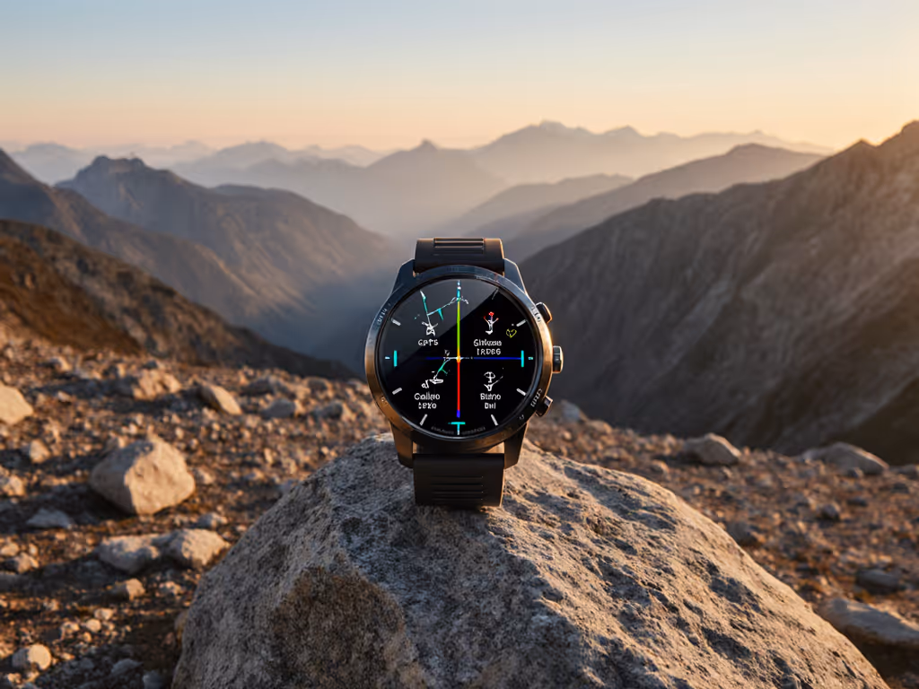
Building a Reliable Navigation System
Why Modular Design Matters
Your watch should complement (not replace) traditional navigation skills. The best GPS tracker running watch serves as one layer in a redundant system:
- Primary: Map and compass (always)
- Secondary: GPS watch with preloaded routes
- Tertiary: Satellite communicator for emergency coordinates
Specialized tools with dual-frequency GPS significantly improve accuracy in challenging terrain by receiving both L1 and L5 signals, though this comes at a battery cost that requires careful management during extended missions.
Data Integrity Practices
COROS APEX 2 Pro Outdoor GPS Watch
Reliable, offline-first GPS with exceptional battery for extreme outdoor navigation.
$449
Max GPS Battery Life75 Hours
Max GPS Battery Life75 Hours
Pros
Unrivaled 75-hour GPS battery life for multi-day trips.
Superior dual-frequency GNSS accuracy, even in tough terrain.
Preloaded global offline maps, seamless route following.
Cons
Display contrast can be dim in some conditions.
Customers praise the watch's exceptional battery life, build quality, and accuracy, with one customer noting the wrist HR is accurate enough for daily use. The functionality receives mixed feedback, with some customers saying it works better than Garmin devices while others mention limited functionality. The screen contrast also gets mixed reviews, with several customers finding the display too dark.
Customers praise the watch's exceptional battery life, build quality, and accuracy, with one customer noting the wrist HR is accurate enough for daily use. The functionality receives mixed feedback, with some customers saying it works better than Garmin devices while others mention limited functionality. The screen contrast also gets mixed reviews, with several customers finding the display too dark.
Treat your GPS data with the rigor of incident reporting:
- Export tracks as GPX (not proprietary formats)
- Verify elevation profiles against known landmarks
- Maintain local backups separate from cloud services
- Cross-check waypoints with UTM coordinates on paper maps
When sharing routes with teams, use standardized naming conventions ("TrailName_Date_Direction.gpx") so anyone can identify and load the correct file under stress.
Final Verification Protocol
Before trusting any GPS system in critical conditions, conduct this 5-minute field test:
- Power on device 15 minutes before departure
- Record position at known landmark (e.g., trailhead marker)
- Compare to USGS map or surveyed coordinate
- Walk 100 m on a straight path; verify track accuracy
- Toggle satellite systems to identify optimal configuration
Remember: No electronic system replaces map literacy. But when integrated thoughtfully into your navigation protocol, a properly configured GPS watch becomes a force multiplier, not a single point of failure.
Related Articles