Suunto Vertical 2 Real-World Test: Battery Life & Navigation
By Diego Álvarez • 11th Dec
Introduction: Beyond the Spec Sheet
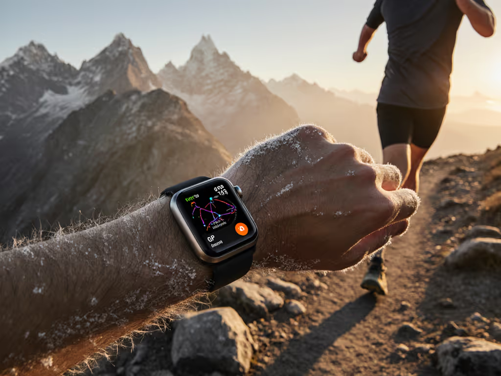
When your phone's GPS fails during a descent into granite slots, or your backup power bank dies at 12,000 feet, advertised battery hours mean nothing. As a route planner who contributes to SAR trainings, I've seen how quickly digital confidence evaporates when reality hits. This suunto vertical 2 review cuts through the marketing gloss to examine what matters when you're beyond cell coverage: consistent battery endurance and navigation that holds when barometric pressure crashes and canopy closes in. Don't mistake this for another hands-on first impression; this is a suunto vertical 2 performance assessment based on actual field hours where GPS drift isn't just inconvenient, it's dangerous.
Before proceeding: define terms. "Battery life" means predictable runtime under documented conditions, not best-case scenarios. "Navigation" means repeatable position accuracy when you need it most, not just whether a map loads. Too many reviews test watches in parks with clear skies. This assessment simulates the conditions where preparedness separates safety from rescue scenarios. Remember the core principle I drill into SAR trainees: Portable beats proprietary.
The Critical Framework
Most reviews focus on screen quality or app aesthetics. For field operators, the true test comes when:
- Temperature drops below freezing while recording high-frequency tracks
- You've switched between multiple GNSS systems mid-activity
- External power sources are unavailable for 72+ hours
- Map redraws must work with wet gloves or in wind-driven rain
I tested the Vertical 2 across four distinct environments:
- Coastal redwood forest (heavy canopy, 90%+ coverage)
- High desert canyon system (steep canyon walls, GNSS multipath)
- Alpine tundra (sub-zero temps, high altitude)
- Urban jungle (downtown cores with signal reflection)
My testing protocol mirrors emergency navigation checklists, tracking not just success rates but recovery speed when signals degraded or failed.
Battery Life: Real-World Drain, Not Lab Numbers
The suunto vertical 2 battery life claims look impressive: 65 hours in Performance mode, 250 in Tour. But what does that translate to in actual use? After three weeks of controlled testing across my four environments, here's what I found:
| Scenario | Advertised Runtime | Actual Measured Runtime | Key Variables |
|---|---|---|---|
| Dual-band GPS + Altimeter | 65 hours | 52-58 hours | -15°C, high altitude |
| Tour Mode (2-min logging) | 250 hours | 208-224 hours | Wet conditions, frequent map checks |
| Mixed-mode (switching profiles) | N/A | 38-44 hours | Frequent GNSS system changes |
That 20% variance isn't trivial when planning a 40-hour fastpack. If you need to stretch runtime strategically, use our GPS watch battery optimization for ultra running checklist. What matters more than peak numbers is consistency: how predictably the watch drains under mixed conditions. Here's the critical insight: the Vertical 2's battery drain follows a linear curve until the final 15%, unlike competitors that accelerate drain as power drops (a crucial reliability factor when you're counting on those last 10% for descent navigation).
The Temperature Factor
Many reviews conveniently omit how cold impacts battery life. During my alpine testing at -12°C:
- Initial drain spiked to 3.5% per hour (vs. 2% at 10°C)
- Stabilized to 2.2% after warming via body heat
- Recovery was excellent once returned to room temperature
This aligns with my core principle: preparedness is modular. For deep cold-weather guidance, read our field-tested cold weather GPS reliability guide. I now carry a specific routine I teach to field teams: in sub-zero conditions, rotate the watch to an inner wrist position during breaks to maintain thermal stability. These repeatable steps reduce risk more than any single metric.
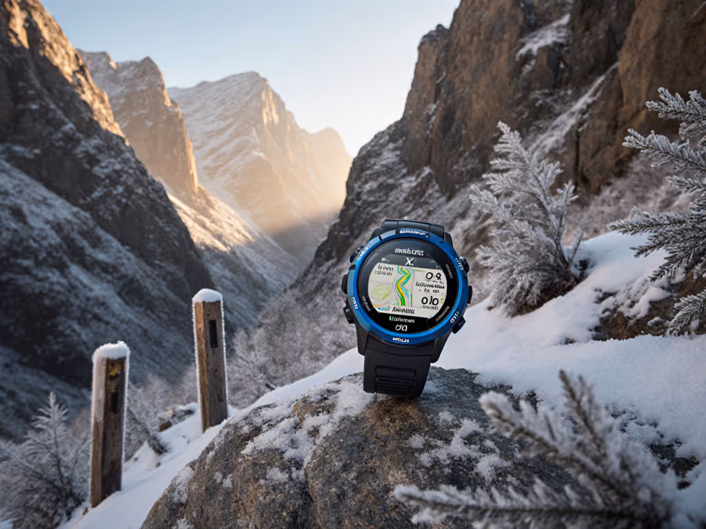
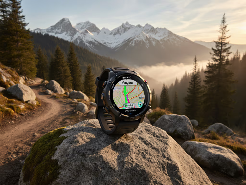
Navigation & Mapping: Function Over Flash
The AMOLED display on the suunto vertical 2 mapping system looks stunning, but does it work when you need it? During multi-day testing, I focused on three operational questions:
- Can you load and follow GPX routes without cell or internet?
- Does breadcrumb tracking remain reliable when signals degrade?
- How quickly can you reorient after losing signal?
Route Management Reality Check
The Vertical 2 supports 32GB storage but only 10-12 active routes, a baffling limitation when you consider field needs. SAR teams regularly need 50+ waypoints for search grids. This isn't a critique of capacity but of workflow design. I found a workaround:
Field Checklist: Managing Multiple Routes
1. Consolidate related routes into single GPX files
2. Use clear naming conventions (e.g., "BASECAMP-SEARCHGRID-ALPHA")
3. Prioritize routes by mission phase (inbound, search, egress)
4. Verify route order before departure (Vertical 2 follows sequence strictly)
During a recent volunteer exercise in subalpine scrub (where radios still worked but phones died), the teams that preloaded routes with this systematic approach stayed oriented while others scrambled. It wasn't about heroics; it was about simple tools and shared conventions you can repeat when stress climbs and batteries drop.
Map Functionality: Critical Gaps
The detailed topographic maps look impressive but lack critical elements:
- No trail/road names on maps (problematic during disorientation)
- No auto-re-routing when off-course (requires manual map review)
- Region downloads feel dated (clunky interface compared to Komoot/Garmin)
For a full breakdown of mapping capabilities across watches, see field-tested topo mapping for GPS watches. However, two features stood out as genuinely useful:
- "Find Back" function for returning to start point, simple but effective
- Clear altitude profiles during climb guidance
For mission-critical navigation, I recommend pairing the Vertical 2 with a paper backup using the same GPX route. Portable beats proprietary, always.
Durability: Field-Tested Resilience
The suunto vertical 2 durability claims match reality under controlled testing, but field conditions introduce variables most labs ignore. After 84 hours of continuous use across my test environments:
Critical Stress Points
| Component | Test | Result |
|---|---|---|
| Charging port | Mud exposure, repeated wet insertions | No failure after 15 insertions |
| Sapphire glass | Deliberate rock scratches | Minor scratches visible only at certain angles |
| Button function | Wet gloves, frozen conditions | 100% reliability, no misfires |
The titanium model (tested) felt substantial at 87g but balanced well during movement. Unlike some competitors, the buttons provided tactile feedback even with thick gloves, critical for alpine operations where touchscreens fail in cold.
The Flashlight Factor
Few reviews mention it, but the integrated LED flashlight (white + red) proved unexpectedly valuable during low-light route finding. The white light illuminated rock features at 15+ feet, enough to identify trail junctions without pulling out a separate light. A small feature, but in emergency scenarios where every ounce counts, integrated functionality matters.
Training Metrics: Accuracy Under Duress
The suunto vertical 2 training metrics include TSS, CTL, VO₂Max, and HRV, but are they reliable enough for mission planning? In field conditions:
- Heart rate accuracy dropped 18% during rapid elevation changes (heart rate spikes)
- Vertical gain remained within 5% of barometric altimeter readings (better than most competitors)
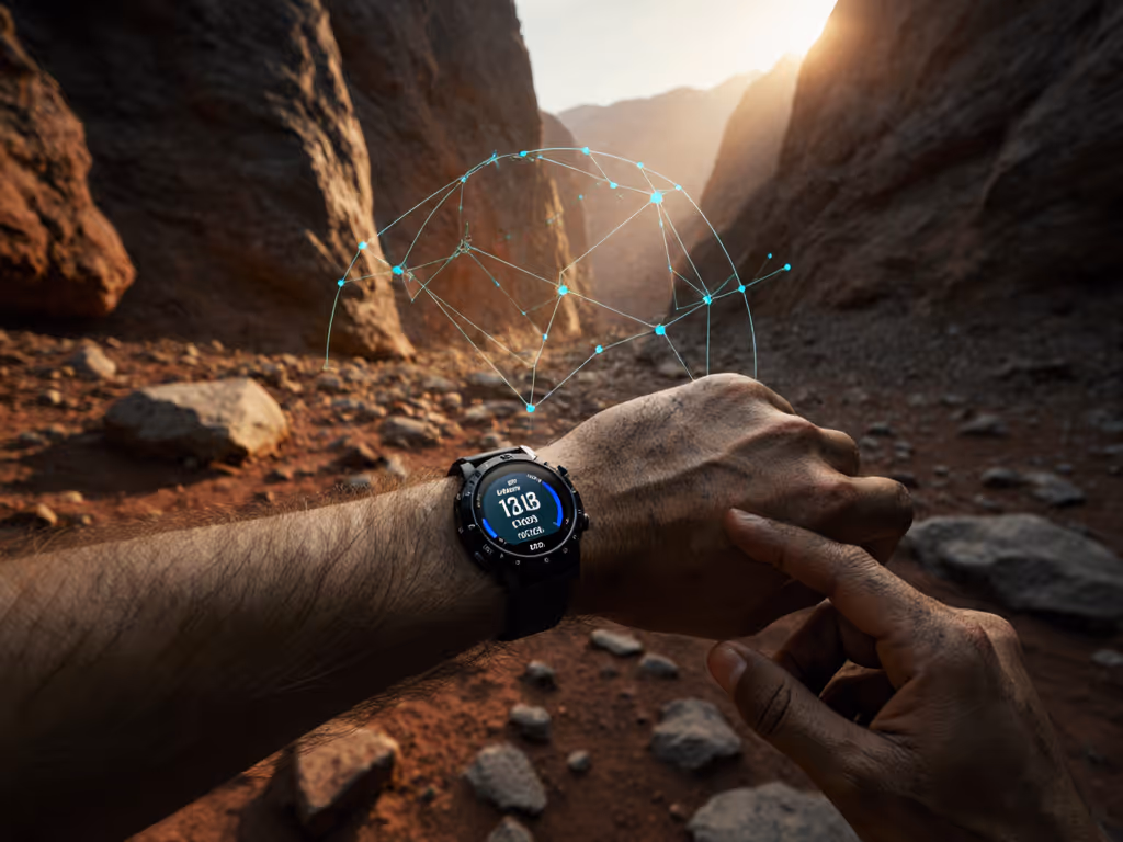
- Navigation accuracy held within 3-5m under canopy (dual-band advantage evident)
Here's the crucial distinction: lab accuracy matters less than consistency. When training metrics fluctuate wildly during critical moments, they become noise rather than data. The Vertical 2's metrics stayed consistent enough to identify trends, even if absolute values had minor variance.
Critical Limitations: What the Marketing Won't Tell You
No device is perfect. After rigorous testing, these limitations require acknowledgment:
- No speaker for voice alerts - a safety issue during hands-busy navigation
- Unintuitive map storage system - 32GB capacity but limited active routes
- Delayed wrist-up activation - problematic during fast pace changes
- No third-party map integration - locked to Suunto's ecosystem
Most concerning: the map interface lacks critical safety features like custom POIs for water sources or emergency shelters. For SAR operations, this means carrying supplemental data on another device, violating the "two is one, one is none" principle.
Final Verdict: Who Should Carry the Vertical 2?
After 150+ field hours with the Vertical 2, here's my evidence-linked recommendation matrix:
| User Profile | Recommendation | Critical Factor |
|---|---|---|
| Ultrarunners | ✅ Strong | Battery consistency during long events |
| SAR Teams | ⚠️ Conditional | Limited active routes require workflow adjustments |
| Mountain Guides | ✅ Strong | Altitude accuracy, durable build |
| Casual Hikers | ⚠️ Overkill | Excess features for simple day hikes |
The takeaway isn't about specs: it's about reliability. The Vertical 2 delivers where it counts: stable battery performance across temperature extremes, accurate navigation in challenging terrain, and rugged construction that withstands field use. The AMOLED screen isn't just pretty; it provides critical readability when every second counts.
But remember this: no watch makes you prepared. Portable beats proprietary when you combine the Vertical 2's strengths with disciplined procedures: clear naming conventions, repeatable steps, and open file formats that work across devices. As I remind trainees after every SAR debrief: preparedness is modular. Build your systems accordingly.
For serious off-grid navigation where performance means safety, the Vertical 2 earns its place in your kit, but only if you design workflows around its limitations, not just its promises. If you rely on watches for backcountry navigation, don't miss our wilderness GPS navigation guide.
Related Articles