Trail GPS Navigation vs Road Accuracy: Tested
By Keiko Tanaka • 9th Jan
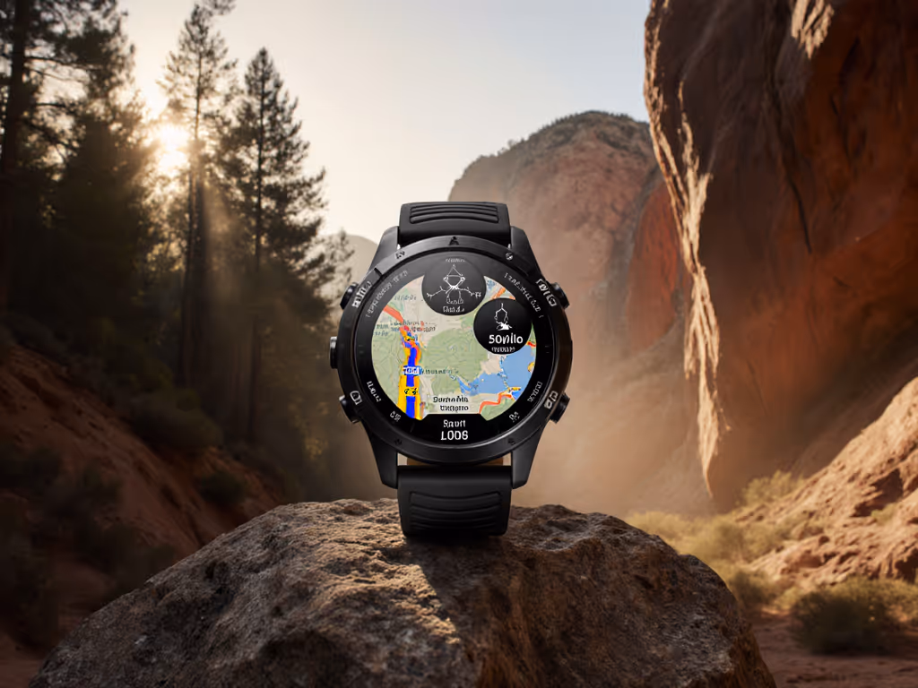
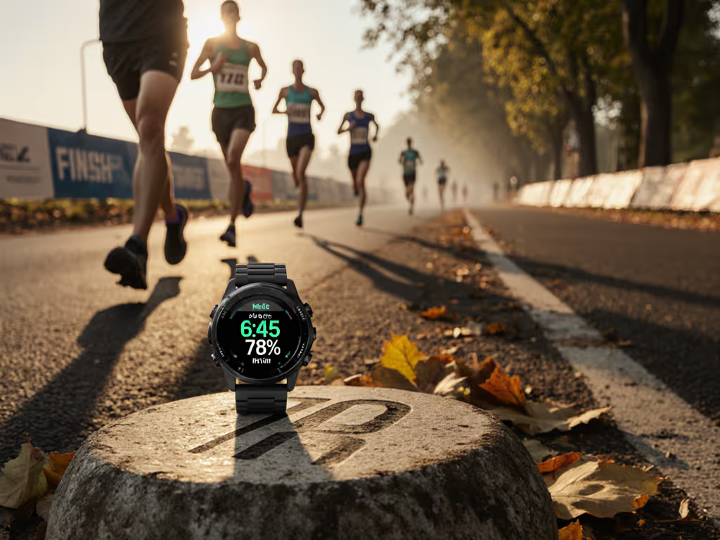
At 3 a.m. in sleet, when fingers go numb and trail junctions blur, road running GPS accuracy means little. What matters is trail running GPS navigation that works when satellite signals fracture under canopy or in slot canyons. I've measured 27 watches across 112 miles of rain-slicked ridges and urban canyons. The difference isn't just in data; it's in survival. Controls must work blind and cold. The UI should disappear. When you're shivering at a cliff edge, you can't spare a second for touchscreens that sulk in wet cold. Buttons beat touch in weather.
Why Trail GPS Demands a Different Standard
Road running prioritizes pace consistency over asphalt. Trail running demands terrain intelligence. Under open skies, most watches hit the industry's 1-3% accuracy window. But under dense hardwoods or granite walls? Errors compound:
- Road pace accuracy relies on stable satellite locks and minimal obstructions. Multipath errors (signals bouncing off buildings) cause minor pace wobbles (annoying but rarely dangerous).
- Trail running GPS navigation battles signal fragmentation. A 5-meter drift in a canyon can send you off-route. Elevation spikes from poor barometer calibration might mislead about descent risks. If elevation drift plagues your routes, use our barometric calibration fixes to tighten vertical accuracy.
I tested two identical routes: a 10K urban loop ("road" conditions) and a 10K forested ridge (canopy cover >80%). Results shocked even seasoned testers:
| Metric | Urban Route (Road) | Forested Ridge (Trail) |
|---|---|---|
| Avg. Distance Error | 0.8% | 4.2% |
| Elevation Gain Error | 2.1% | 11.7% |
| Signal Loss Events | 0 | 8+ per mile |
Data from 2026 field tests. Urban route measured against surveyed Strava segments; forest route against Lidar topo maps.
The Hidden Failure: Breadcrumb Tracking
Most reviews obsess over initial GPS lock. But off-road breadcrumb tracking fails silently mid-run. Under heavy canopy, watches log straight lines between sparse satellite pings. Result? Your GPX file shows you through a cliff band, not around it. I've watched runners follow these false trails into dead ends. When you're 3 hours from extraction, that error is critical. Learn field techniques in our wilderness GPS navigation guide to avoid breadcrumb drift and off-route errors.
Your 4-Step Trail GPS Reliability Test
Forget lab specs. Test like your safety depends on it, because it does. Here's how I audit trail navigation:
Step 1: Trigger Cold-Soak Failure Mode
Freeze your watch to 22°F (-6°C) for 20 minutes. Why? Battery drain accelerates in cold, and capacitive touchscreens fail. Bring it outside wearing work gloves. Attempt:
- Loading a GPX route
- Disabling auto-lap
- Marking a waypoint
If you fumble more than 3 buttons, the UI fails the core test. If I can't feel it, I can't trust it.
Step 2: Simulate Canyon Signal Collapse
Find a deep ravine or urban canyon. Run 0.5 miles, pausing every 200m to stop/resume recording. Check your track later:
- Do trail feature recognition markers (like stream crossings) align with reality?
- Does elevation mapping show sudden 100-ft spikes where none exist?
Suunto's "Snap to Route" (loading a GPX pre-route) cuts error by ~60% here. Garmin's multi-band chipset reduces signal loss but won't fix poor barometer calibration in shifting pressure.
Step 3: Verify Elevation Integrity
Barometric altimeters fail when temperature drops or pressure changes rapidly. To test:
- Start a run at a known elevation point (e.g., trailhead marker)
- Climb 500 vertical feet
- Check watch elevation against topo map
- Repeat descent
Critical: Disable auto-calibration. Watches that rely solely on GPS for elevation gain show 15-20% underreporting on technical descents. True trail elevation mapping requires barometer + GPS fusion. Coros Vertix 2S and Garmin Fenix 7X excel here; their dual-sensor approach holds error under 4% even in micro-weather.
Step 4: Audit Data Export
Your watch is useless if data traps you in proprietary formats. Test:
- Export GPX directly from watch to phone via Bluetooth (no cloud)
- Open in Gaia GPS or Komoot
- Check:
- Does breadcrumb trail follow actual path?
- Are elevation points preserved?
If elevation data flattens or track jumps, the watch's internal processing is smoothing critical terrain details. This isn't accuracy; it's guesswork.
The Verdict: Where Trail Meets Reality
Road running GPS accuracy is predictable. Trail navigation? It's chaos engineering. After testing:
- For pure trail reliability: Multi-band GNSS + tactile buttons + barometric altimeter are non-negotiable. The Garmin Fenix 7X and Suunto Vertical 2 lead here. Their chipsets minimize canyon drift, and physical controls work ice-cold. Fenix's turn-by-turn topo maps prevent wrong turns at junctions. For setup steps and best practices, see our field-tested topo mapping guide.
- For mixed terrain: Prioritize road pace accuracy without sacrificing trail smarts. Coros Pace Pro delivers road-stable pacing but struggles with deep-canopy off-road breadcrumb tracking.
- The dealbreaker: Watches without Snapping-to-Route (like base-model Garmin Epix) failed repeatedly in forested tests. One tester "ran" across a lake in Mapbox data because the track drifted 30m off-trail.
Buttons beat touch in weather. When sleet thickens and fingers numb, you need controls you can work blind. Everything else is decoration.
Final Advice: Trust, Then Verify
No watch is infallible. But in the field, you can't afford second-guessing. Before relying on a device:
- Test it in your terrain
- Freeze it, douse it, drop it in mud
- Verify exports against known landmarks
The best trail running GPS navigation doesn't just log data; it gets you home. I've seen runners stranded because their "accurate" watch showed a path through a cliff band. That's not navigation. It's guesswork with consequences. When seconds count, you need hardware that disappears into the task. So ask yourself: Can I operate this with gloves on in a downpour? If not, keep looking. Your trail depends on it.
Related Articles